
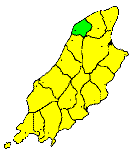
THE parish of JURBY extends from the Carlane river to the Lhen Moar, and is bounded towards the east by the Lhen Moar Trench. It contains an area of about eight square miles. It forms the north-western part of the northern lowlands, and its surface is flat and monotonous. It is an exclusively agricultural district, and contains a scattered population.
Brown's Isle of Man Directory, 1894
|
|
||
|
© F.Coakley, 2006 |
||