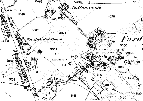
Village and Mine from O/S 1868 Map
Village and Mine from O/S 1868 Map
The map shows the ribbon development along the road from Castletown to St. Johns (diagonal SSE-NNW), the public house at the top is the Baltic. Mines Road (central W-E) leads off to the first of the mines, another is situated further to east off the map. The spoil heap can be seen in field number 3074
TBA
T.A.Bawden, L.S. Garrad, et al The Industrial Archaeology of the Isle of Man Newton Abbot: David & Charles 1972 (ISBN 0-7153-5440-X)
|
|
||
|
|
||
|
|
||
|
Any comments, errors or omissions gratefully received
The Editor © F.Coakley , 2003 |
||